As tectonic fluctuations persist in the Aegean region, Türkiye has ramped up its preparedness efforts, with the country’s Disaster and Emergency Management Presidency (AFAD) formulating a strategic contingency plan. Meanwhile, neighbouring Greece has extended school closures as a precautionary measure.
AFAD recently convened a high-level emergency meeting to assess the risks posed by the ongoing earthquake swarm near Santorini Island and its potential impact on Türkiye’s coastline. The meeting brought together officials from AFAD, the Mineral Research and Exploration General Directorate (MTA), the Turkish State Meteorological Service, the Kandilli Observatory and Earthquake Research Institute, and other leading scientists and researchers.
Türkiye’s Emergency Measures
Discussions focused on the threats of a major earthquake, tsunami, or volcanic eruption, with authorities outlining a series of precautionary steps:
Continuous Monitoring Council: A specialised council comprising government officials and scientists has been established to monitor seismic activity from multiple perspectives.
Emergency Warning Systems:
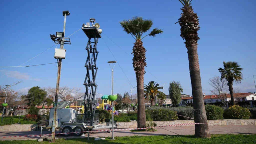
Mobile siren systems have been deployed to İzmir, Aydın, and Muğla to provide immediate alerts in case of a tsunami or other emergency.
The existing SMS alert system has been activated to send emergency warnings via Türkiye’s news receiving and distribution network.
Personnel and Equipment Deployment: AFAD directorates in Ankara, Antalya, Bursa, Diyarbakır, Sivas, and Samsun have dispatched reinforcement teams and equipment to at-risk provinces.
Tsunami Early Warning Integration: The Kandilli Observatory’s Tsunami Warning System has been integrated with AFAD’s disaster management platform, AYDES, ensuring real-time tsunami alerts for authorities and residents.
Volcanic Activity Monitoring: The Turkish Meteorological Service has begun issuing daily reports to track the movement of volcanic gas and ash in the atmosphere in the event of an eruption.
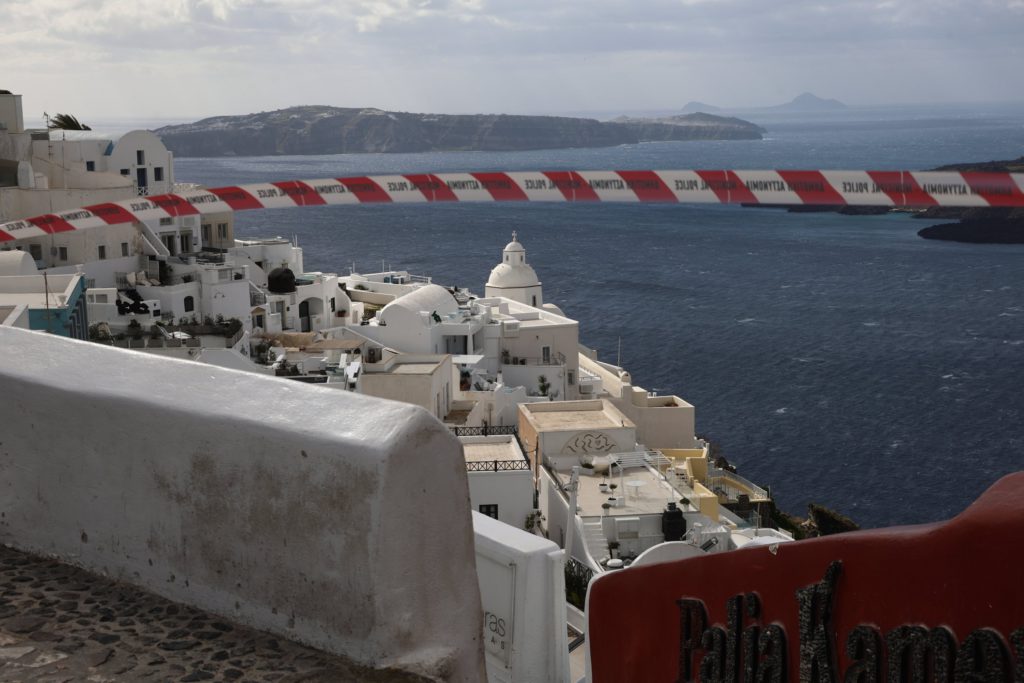
Seismic Activity Triggers Mass Evacuations in Greece
Since February 1, 2025, over 800 tremors exceeding magnitude 3 have been recorded near the Greek islands of Santorini, Amorgos, Anafi, and Ios. The strongest quake to date, measuring magnitude 5.2, has contributed to growing fears in the region.
As a result, most of Santorini’s 16,000 residents—along with visiting tourists—have fled the island. Although seismic activity appeared to decrease, 11 tremors above magnitude 4 struck on February 8, prompting Turkish authorities to accelerate their emergency response.
Experts Dismiss Links Between Sea Recession and Earthquake Threat
Meanwhile, the sudden recession of the sea along Türkiye’s Marmara and Aegean coasts has sparked public concern over a potential earthquake. In Silivri, Istanbul, the sea withdrew by 150 metres, forming temporary islets, while in Seferihisar, İzmir, the retreat reached 100 metres, leaving boats stranded.
However, earthquake expert Professor Süleyman Pampal reassured the public, stating that such occurrences are due to atmospheric and meteorological phenomena rather than an impending earthquake. He emphasised that the fault lines in the Marmara region are unlikely to generate significant tsunamis and that sea recessions are typically caused by tides, wind, and atmospheric pressure changes.
Pampal urged against exaggerating the situation, noting that these are natural and recurring atmospheric phenomena with no connection to seismic activity.
Authorities continue to closely monitor the situation, urging coastal residents to stay informed through official channels.
Source: Hürriyet Daily News